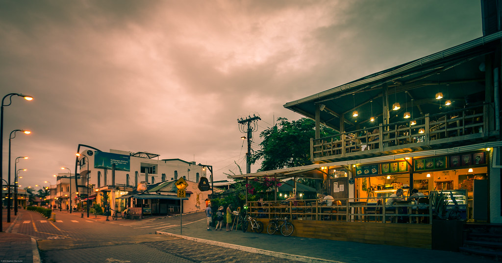
Galapagos is one of four regions in Ecuador that, along with the Coastal Region on the mainland, are home to all of Ecuador’s beaches.
Visiting the Galapagos Islands means traveling through knowledge and enjoying nature in its purest form, recognizing its value as one of the world’s most endemic regions par excellence.
A comprehensive guide to the Galapagos Islands is provided below.
Important: Ecuador currency

Galapagos Island travel guides
Travel guides to Galapagos that will be updated on a regular basis:
Beaches in the Galapagos Islands
Get to know the beaches you will find on these beautiful islands:
Where are the galapagos islands located?
The Galapagos Islands are 973 kilometers (605 miles) west of mainland Ecuador, within coordinates 01°40′ N 01°36′ S; 089°16′ and 092°01′ W, and cross the equator.
The Galapagos Islands cover an area of 7,880 km2 of land and 45,000 km2 of ocean.
Map
History and population
The Galapagos Islands were incorporated to Ecuador in 1832, but they were discovered in 1535 by Tomas de Berlanga.
The Galapagos were created as an Ecuadorian province on February 18, 1973.
Its capital is Puerto Baquerizo Moreno, located on San Cristobal Island, while the largest and most populated city is Puerto Ayora on Santa Cruz Island.
The archipelago is one of Ecuador’s 24 provinces and is the least inhabited (approx. 33 thousand people).
Time use
The Galapagos are in the GMT-6 time zone.
This is one hour more (+1) than in the Ecuadorian continent.
Other names
The Galapagos Islands are also legally known as the Colon Archipelago (Archipiélago de Colón) or Galapagos Archipelago.
However, the term “Enchanted Islands” is also used to describe these places.
The archipelago gets its name from the giant tortoise that lives on the islands: the Galapagos.
The word “galapago” was used to describe the English saddle that women used, which looked like the shell of these turtles.
The Government Council of the Special Regime of Galapagos is in charge of the islands’ administration, organization, and management.
Islands of the Galapagos
Galapagos has seven major islands, 14 smaller islands, 12 additional islands, 64 islets and 136 rocks, all of which are volcanic in origin.
See also: How many islands are there in Galapagos?
Why are the galapagos islands important?
Important facts about the archipelago that you should know:
Protected areas
There are two natural protected areas in Galapagos Islands: one on land and one in the sea.
Ninety-seven percent of the islands’ surface area is National Park, and only 3% is inhabited.
There are also 234 terrestrial units (islands, islets and rocks) and 88 terrestrial visitor sites (sites where there are beaches or trails).
Important: Guidelines for visiting the Galapagos National Park
Recognitions
- In 1978, UNESCO declared the Galapagos Islands a Natural World Heritage Site.
- In 1984, UNESCO also declared them a Biosphere Reserve.
- In 1985, the islands were declared a Galapagos National Park in Ecuador.
- In 1990, they were declared a Whale Sanctuary by the organization Explorers Oceano, CEDAM International.
- In 1998, the Galapagos Marine Reserve was created, considered the largest marine reserve in a developing country and the second largest reserve in the world.
- And in 2001, UNESCO included the Galapagos Marine Reserve as a World Natural Heritage Site.
But not everything is pretty, since in 2007 they were also declared World Heritage Sites at environmental risk.

Flora and fauna
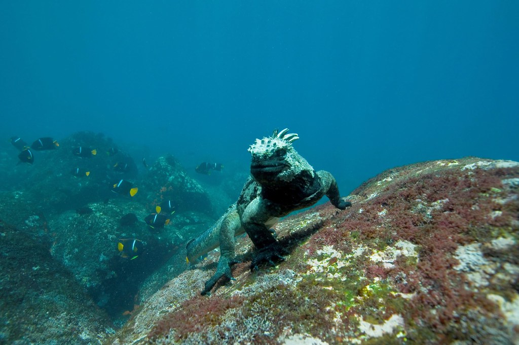
The Galapagos Islands are home to some of the world’s most unique species of animals and plants.
- 100% of the reptiles are endemic
- 79% of mammals are endemic
- 56% of insects are endemic
- 49% of the birds are endemic
- 42% of the plants are endemic
Here you will find giant tortoises, sea turtles, land and marine iguanas, frigate birds, sea lions, albatrosses, mockingbirds, finches, petrels, Galapagos hawks, cormorants, penguins, sharks, coral reefs and about 560 species of plants (180 endemic).
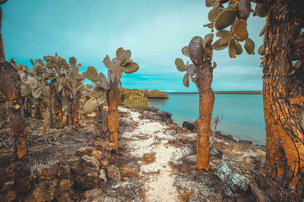
Unlike other paradisiacal islands in the world, which have abundant vegetation, the Galapagos are different.
As they are volcanic in origin and relatively young (unlike Hawaii for example), their landscapes are still wild and without much vegetation.
But that does not detract from its natural importance worldwide.
A natural lab
Formation of the Galapagos Archipelago occurred approximately 4 – 5 million years ago by the eruption of the peak of several volcanoes located in the Nazca tectonic plate on the surface of the Pacific Ocean.
In fact, unlike other islands in the world, the Galapagos are relatively “young” and that is why many scientists worldwide want to visit them as they can study the earth in its almost pure state and, in great magnitude, the consequences of climate change today.
They are a kind of “real-time laboratory”. For example, the islands of Isabela and Fernandina are still in the process of formation.
The Galapagos are of volcanic origin and there are currently several active volcanoes. For this reason, they are considered the second most volcanically active archipelago on the planet, after Hawaii.
It is also worth mentioning that they were the scenario where the English naturalist Charles Darwin developed his work “The Origin of Species”, with his famous theory of evolution. Here you can see more of its history.
Seasons in Galapagos
Galapagos has two seasons:
- Rainy season: from December to May. It rains a lot and it’s very humid. In addition, water and air temperatures rise, with temperatures ranging from 26 – 32°C (79 – 90°F).
- Dry season: from June to December. At this time of the year, there are occasional drizzles and the water and air temperatures drop (the temperature ranges between 18 – 25°C). It is actually a very good time for diving and whale watching.
The Galapagos Islands’ climate is generally quite uniform and unaffected by the weather events that take place on the coast of the mainland, so any time of the year is a good time to travel there.
In this other article we cover in depth when is the best time to visit Galapagos.
Tourist attractions in the Galapagos Islands
The Enchanted Islands are brimming with natural wonders, and if you pay attention to the information provided by the local guides, you will be awestruck and in awe of them.
There are many tourist attractions in the archipelago, but here is a list of the most well-known ones:
- Charles Darwin Research Station
- Playa La Estación
- Tortuga Bay
- Los Gemelos
- El Garrapatero beach
- Túnel de Bellavista
- Las Grietas
- Muro de las Lágrimas
- Sierra Negra Volcano
- Tintoreras
- Santiago Island
- León Dormido
- Playa Cerro Brujo
- La Lobería
- Galapaguera de Cerro Colorado
- Puerto Chino
- Playa Mann
- Cerro Tijeretas
- Playa Punta Carola
- Sendero de Isla Seymour Norte
- Bahía Gardner
- Bahía Sullivan
- Corona del Diablo


